Showing posts with label _Changing Landscapes. Show all posts

May 29, 2012

Sanger St., Lorton, VA

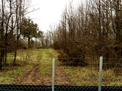
Looking south from Silverbrook Rd. across Lorton Rd. Inova Health building (campus?) going up.

We had a little Wander in Old Town Alexandria, VA

One of my best buds is Susan Hellman, Mom, Architectural Historian, Acting Director of Woodlawn and an appointed member of the Historic Alexandria Resources Commission. (HARC advises Alexandria on preservation issues.) One thing I love about Susan is her passion for the historical underdog. She is not contented in knowing what happened only to the well-to-do folks of our area, she needs to know and understand about the individuals whose names have been forgotten.

We are both native Fairfaxians, but Susan recently moved to Del Ray. One night a few weeks ago we went on an Historic Wander around Old Town Alexandria. How cool to get her perspective and knowledge on one of my favorite places!

Photo below.
Speculating as to this structure's original inhabitants! We must have stood there for an hour. (My apologies to the structure's current inhabitants...):

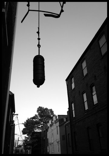
A lengthy discussion ensued on historic pulleys and fire escapes (of course it did!):

In agreement: Jimmy Chew Chews would have been a poor shoe choice c1760:

Tourism season is upon us and we loved this interpreter! (Also loved that we heard about "Slavery in Historic Alexandria" discussed on EVERY tour we passed that night.):

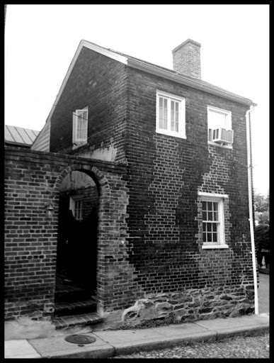
In agreement: this is such a cool house:

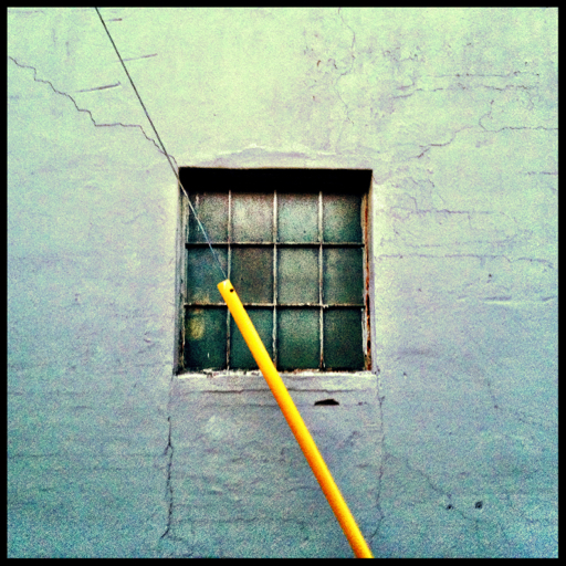
Old coke(?) bottling plant. Susan remembered the days when she could buy a soda for $.05.

I, of course, cannot:

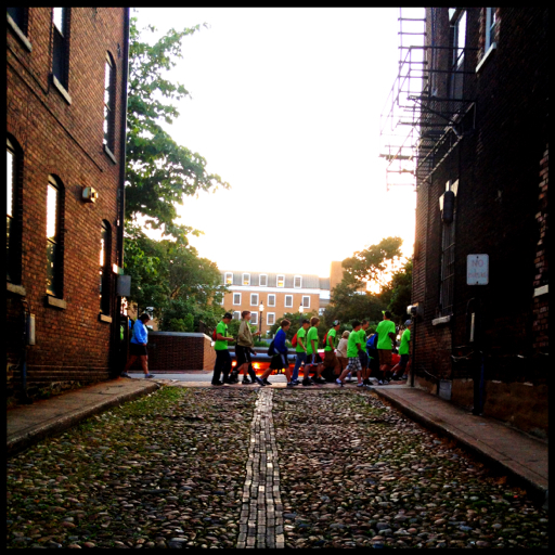
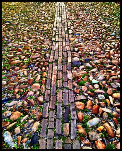
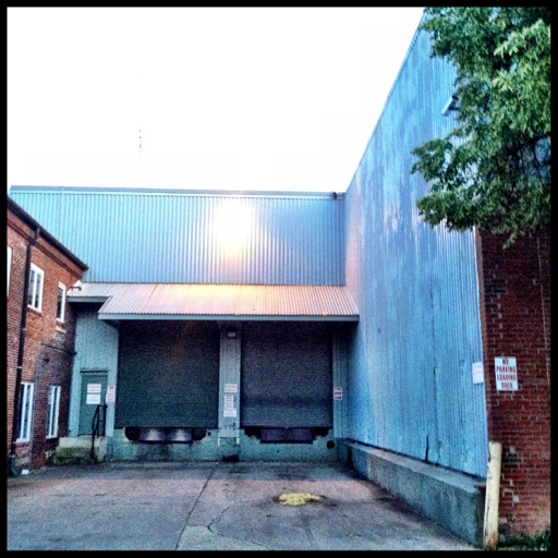
We walked over to the south side of the Alexandria waterfront area. Mostly aging industry. Very cool:

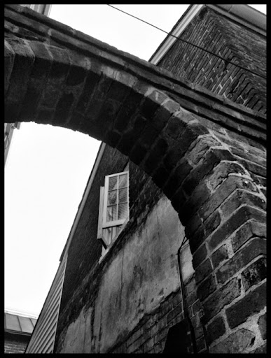
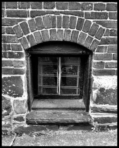
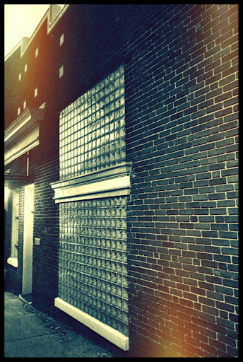
Not in total agreement: Susan didn't seem to find this exposed brick as fabulous as I did. (Still trying not to hold that against her):

In agreement: Who the heck hangs a chandelier in a tiny, dingy, outdoor vestibule?! Someone FABULOUS!!! This is officially my new favorite new thing:

May 22, 2012

Gibson Grove AME Zion Church, Cabin John, MD

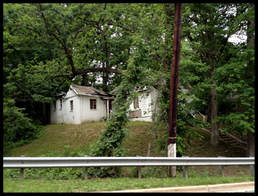
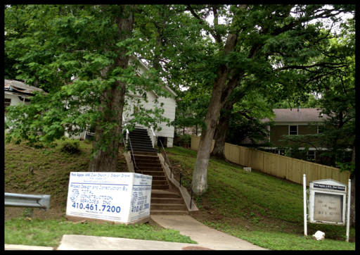
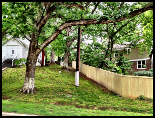
Gibson Grove AME Zion Church, which now seems to be the First Agape AME Zion Church.

See my earlier post:
Gibson Grove AME Zion Church

Driving north on Seven Locks rd. the other day, I noticed that this church seems to finally be receiving some badly needed attention. (Church on west side of road, second location.)

May 14, 2012

Historic Woodlawn & The Widening of Route 1, Fairfax County, VA

The Woodlawn Stables Issue, the Historic District Issue & Beyond...

A lot is being said (and not said) about this issue. Widening Route 1 in place would precipitate the removal of historic remains from the Woodlawn Baptist Church Cemetery. It would also come extremely close to the property line of the Woodlawn Friends Meeting House Cemetery, perhaps causing them to render their historic burial ground inactive. No more room to expand. (Both of these cemeteries are active with descendants still currently living in the area.)

I have one point that I would like to bring up, one which has not been mentioned. According to the 1983 USGS Topo Map for the Woodlawn - Fort Belvoir area, there is a MARKED CEMETERY on the north side of Route 1, seemingly on the National Trust's property. This is a DIFFERENT cemetery from the Woodlawn Baptist Church Cemetery and the Friends Meeting Cemetery. The attached 1983 topo map shows the location of what I am calling the "Unnamed & Unknown Cemetery". I have also pointed out the locations of the Woodlawn Baptist Church & Cemetery and the Woodlawn Friends Meeting House & Cemetery.

I do not know how the planners missed this, but it is clear as the word "CEM"!...

This "new" (I say "new" ...it's obviously a very old burial ground, but it is new to this discussion) cemetery would be yet ANOTHER cemetery abutting Route 1 along the proposed widening route. Through my research on the historic Woodlawn plantation and community, I have become aware of other "missing" cemeteries that have been made reference to in historic documents. Cemeteries that were located on the Woodlawn property. These were for the slaves and the free people of color that lived on the Woodlawn property and in the surrounding neighborhood.

AND, WE DO NOT KNOW EXACTLY WHERE THEY ARE LOCATED.

Is "Cem" one of those locations? Are we now talking a slave cemetery as well as the Baptist Church Cemetery that will need to be "respectfully removed"?

There is also the matter of the early burials of the members of the Woodlawn Baptist Church community. I find it perplexing that according to the church, the earliest burial in the Woodlawn Baptist Church Cemetery was in September 1875. But, the northern Baptist families started arriving at Woodlawn in the 1850s. No one died during those twenty-five years? Twenty-five years which included the Civil War! Unlikely.

WHERE ARE THEY BURIED?

The Woodlawn neighborhood is one of the oldest inhabited areas in Fairfax County. (Don't EVEN get me started on the missing Chapel, circa-1690! That site was probably within a 50 yard radius of the Roy Rogers ...you want fries with that?!) Here's an idea: LEAVE IT ALONE. Simply leave the land alone. Is there really the money to widen Route 1 all the way up to Ft. Belvoir? Didn't the original plans actually have an option to not touch this stretch? May want to check into that...

The dead cannot advocate for themselves. How was this missed?!


Changing Landscape: The Old Fairfax City Library

March 29, 2012

More Slave Burials on Barnsfield Rd., Fairfax County, VA?

Since I published my post Centreville, Rd., Changing Landscape last week, I have received several emails about this land and people's memories of it. I wanted to confirm that there are at least 2 cemeteries on Barnsfield Rd. 

The cemetery on the South side of Barnsfield Rd. is known as the Turley-Hutchison-Wilcoxon Family Cemetery.

There is a slave cemetery on Barnsfield Rd. about 350 yards beyond said family cemetery. This cemetery is known as the Turley Slave Cemetery, it also lies on the South side of Barnsfield Rd.

I have been told there are other "slave burials" on the North side of Barnsfield Rd., but much closer to Centreville Rd. (Route 657).

If anyone has any info. Please let me know... The bulldozers are ON THE SITE.

See what the site looked like in May 2012

March 23, 2012

Centreville Rd., Changing Landscape

All photos are from the wooded parcel on the SW corner of Centreville Rd. & Barnsfield Rd. (A small parcel of land shown is adjoining Barnsfield Rd. on the North). There is a family cemetery (The Turley-Hutchison-Wilcoxon Family Cemetery) on said SW tract, quite close to the corner. No gravemarkers were visible from the road. I have been assured by FCPA Cultural Resources Branch that the cemetery was delineated and will be appropriately held out from the coming development.